Boundary Surveys
Precise demarcation of property lines for legal certainty and peace of mind.
Why Boundary Surveys are Essential
A **boundary survey** precisely defines the extent of your property by establishing or re-establishing property corners and boundary lines. This is crucial for various reasons, including:
- **Buying or Selling Property:** Ensures all parties know exactly what land is being transferred.
- **Fencing or Construction:** Prevents encroachment on neighboring properties.
- **Resolving Disputes:** Provides definitive evidence in boundary disagreements.
- **Developing Land:** Essential for subdivision, consolidation, and planning new structures.
- **Loan Applications:** Often required by lenders for property security.
Our experienced and licensed surveyors at HMP Survey & Design use advanced equipment like RTK GPS and Total Stations to ensure the highest level of accuracy, providing you with a detailed plat or map of your property.
Our Boundary Survey Process
- **Extensive Research:** We begin by thoroughly researching historical records, deeds, and previous surveys relevant to your property.
- **Precise Field Work:** Our team conducts on-site measurements, meticulously locating existing markers and setting new, durable ones if necessary.
- **Advanced Data Processing:** We process the collected data using specialized software.
- **Detailed Diagram/Map Creation:** A comprehensive survey diagram or map is prepared, clearly illustrating boundary lines, servitudes, and other relevant features.
- **Client Consultation:** We review the results with you, ensuring you understand all aspects of the survey and answering any questions.
Ensure your investment is protected and your project proceeds without boundary-related issues. **Contact HMP Survey & Design today** for a detailed quote on your boundary survey needs.
Request a Boundary Survey Quote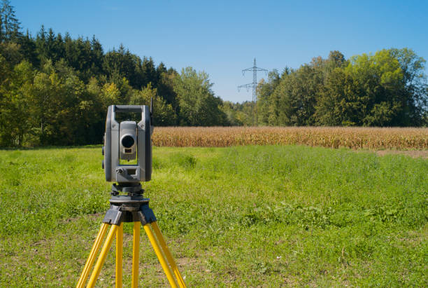
Our team ensuring precise boundary demarcation.