Topographical Surveys
Precise mapping of land features and elevations for comprehensive site analysis and design.
Unlocking Your Site's Potential with Topographical Surveys
**Topographical surveys** are a fundamental step for almost any land development project, from residential buildings to large-scale infrastructure. They provide a detailed, accurate map of the natural and man-made features on a property, as well as its elevation changes.
At **HMP Survey & Design**, we use state-of-the-art equipment, including GPS, Total Stations, and drone technology, to capture precise elevation data and map essential features such as:
- **Contour Lines:** Showing changes in elevation.
- **Buildings & Structures:** Outlines and critical dimensions.
- **Roads, Paths & Paved Areas:** Detailed layout.
- **Utilities:** Manholes, hydrants, power poles, visible pipes (where accessible).
- **Drainage Features:** Stormwater pipes and culverts, and water bodies.
- **Vegetation:** Trees, bushes, and treelines.
- **Fences & Walls:** Property boundaries and barriers.
The detailed data from our topographical surveys is essential for:
- **Architectural Design:** Planning optimal building placement and foundation design.
- **Civil Engineering:** Designing roads, drainage systems, and utility networks.
- **Landscaping & Site Planning:** Efficiently planning hardscaping and softscaping.
- **Environmental Assessments:** Understanding water flow and ecological impact.
- **Volume Calculations:** Estimating earthwork quantities for cut and fill operations.
Our Topographical Survey Process
- **Project Briefing:** Understanding your specific project needs and required level of detail.
- **Field Data Collection:** Our experienced team uses advanced surveying instruments to gather precise spatial and elevation data on site.
- **Data Processing & QA/QC:** Raw data is processed using specialized software, with rigorous quality assurance checks to ensure accuracy.
- **Plan & Map Generation:** We produce clear, comprehensive topographical maps in various formats (CAD, PDF), tailored to your project requirements.
- **Client Consultation:** Delivering the final product and providing expert explanations to facilitate your design and planning.
Leverage the foundation of precise data for your next project. **Contact HMP Survey & Design today** to discuss your topographical survey requirements in Roodepoort or anywhere in Gauteng.
Get a Topographical Survey Quote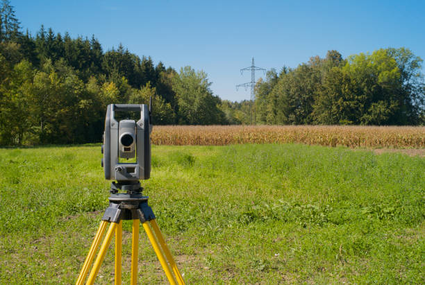
Detailed topographical maps are crucial for successful project planning.